Mount Nyiragongo Hike – Climb to the World’s Largest Lava Lake in Congo
Hike Mount Nyiragongo volcano in Congo to visit the lava lake and learn its facts. Each climbing permit costs $400 and includes camping equipment.
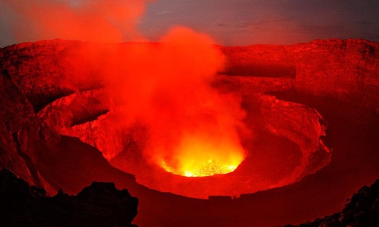
A combination of volcanoes is responsible for 40% of all known historical volcanic eruptions in Africa. A lava lake, one of the largest on the planet, is found at Nyiragongo’s peak.
Nyamuragira, its closest neighbor, no longer has a lava lake. Both of these volcanoes emit liquid alkaline lavas from their craters.
The Albertine Rift, which is part of the East African Rift Valley system, is home to these giant volcanoes. Shaheru and Baruta, both older volcanoes, are nearby.
Nyiragongo covers some of these areas. Over a hundred parasitic cones are dotted along the sides of these volcanoes, mostly along the radial cracks. The “Virunga Volcanic Field” was named for this beautiful group. The volcanoes lie on D.R. Congo’s eastern border.
Mount Nyiragongo, located in the heart of the Virunga ranges, is about 11,385 feet high. It is near the Democratic Republic of Congo’s Virunga National Park, about 7.5 miles north of Goma and Lake Kivu, and close to Rwanda’s border.
A lava lake normally fills the main crater, which is about one mile wide. Within the crater walls, there are two cooled lava benches, one at 10,417 feet and the other at 9,760 feet. Nyiragongo’s lava lake is the largest known in recent history.
The lava lake’s depth changes a lot. Before the eruption in January 1977, the lava lake reached a height of 10,660 feet, with a depth of 2,000 feet.
After the eruption in January 2002, the lava lake dropped to 8,500 feet, or 3,000 feet below the rim. Since then, the level has risen slowly.
Nyiragongo and Nyamuragira are together responsible for 40% of Africa’s historical volcanic eruptions. Nyiragongo has erupted at least 34 times since 1882, with periods of continuous activity.
Although the presence of the lava lake was believed for a long time, it was only scientifically proven in 1948. It was almost 120,000 square meters in size at that time.
The lake’s temperature, size, and depth have varied over time. The eruption of the lava lake is still ongoing.
By 2020, the lava lake was mostly contained within a 60-foot-high by 600-foot-wide cinder cone on the crater floor. Cracks in the crater walls on January 10, 1977, caused the lake to drain quickly.
On May 22, 2021, another eruption started at 5:00 p.m. GMT. Lava flowed east into the city center after Goma Airport. A team from the Goma Volcanic Observatory monitors the volcano.
Nyiragongo is one of Congo’s greatest tourist attractions. It is one of the eight volcanoes that make up the Virunga conservation region and is located in the eastern part of the country, overlooking the historic Virunga National Park.
Other volcanoes include Karisimbi, Nyamuragira, Bisoke, Muhabura, Mikeno, Sabyinyo, and Gahinga. Nyiragongo stands at 3,470 meters and takes 5–6 hours to climb to the summit.
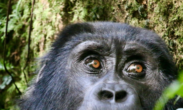
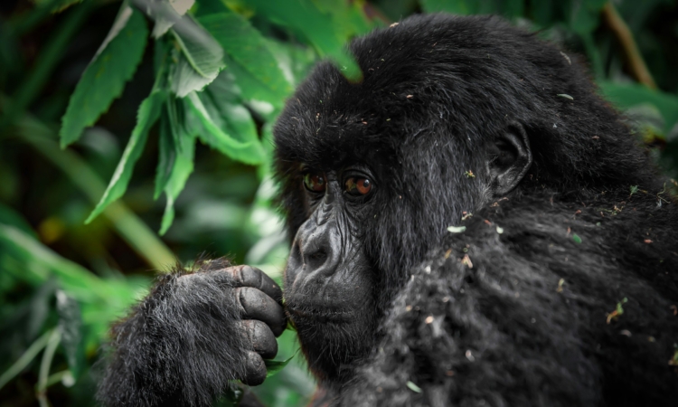
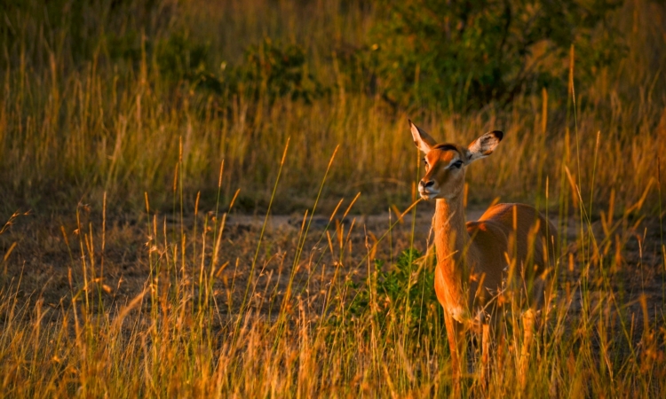
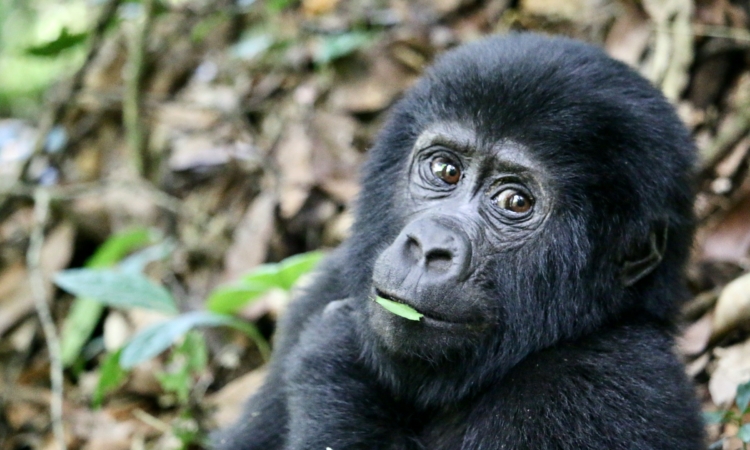
There is also an option to combine mountain gorilla trekking and hiking for visitors. Hiking Mount Nyiragongo is a perfect trip for those seeking a once-in-a-lifetime hiking adventure.
In Africa, it is one of the only places where visitors can get close to a lava lake. This mountain is accessible from several places, but it is safest to travel through Gisenyi town in Rwanda.
Visitors are transported 20 km from Gisenyi to the Rwanda-DRC border.
A large black cloud can still be seen from Goma as a reminder of the mountain’s 2021 eruption. The once-hot lava has now cooled, leaving behind black rock.
After Goma, you will be taken to Kibati village, where the trail begins. Before starting the hike, you will receive a briefing about what to expect.
The briefing covers all important details about the hike, including where to stop and what to bring. Except for the last part, travelers hike mostly as a group.
Climbing can be tough for people who are not well-prepared or physically fit.
Porters can be hired for a fee at the starting point to help carry heavy items. The climb has five stages.
The first part is through lower-altitude areas. At this stage, some people who are not ready may give up.
After the first major stop, the altitude rises, making it harder. Small lava rocks are common in the second stage. Hikers with good shoes find this part easier.
After the second stage, hikers face small boulders, slippery stones, and tougher conditions at higher altitudes.
The fourth stage has steeper slopes. Besides the cold, rain is common here, so warm clothes and raincoats are needed.
The last stage is the hardest but shortest. Even tired hikers are motivated when they see the cabins near the summit. At this point, hikers can go at their own pace.
At the summit, it is very cold and windy. Warm clothes are necessary. Porters and cooks help by preparing hot tea and coffee. From the cabins, you can see the bubbling lava.
Descending takes about 3 hours but can be tough. Walking down steep and rocky areas needs extra care.
The advantage of descending is the beautiful view of Lake Kivu, distant Mount Rwenzori, and the majestic Virunga National Park.
Hiking permits cost around $300 and are non-refundable. They can be obtained through a tour operator or Virunga National Park.
Before applying for a visa for Congo (about $105 per person), you must first get a trekking permit. Extra documents are also needed to cross the DRC border from Rwanda.
These include a yellow fever vaccination card and a valid passport. A good tour company should help you get the visa, book lodges, arrange porters, and organize transport.
Packing List for the Hike
You should pack:
- Lunch and water
- Warm clothes and a sleeping bag
- Sweater, rainproof pants and jacket, long underwear, warm socks, and a hat
- Sunscreen for the hot season
- Hiking boots
- A backpack to carry essentials like a phone and power bank
- A camera and binoculars for viewing and photography
- A torch, because there is no electricity at the summit
- A portable charger
- Money to hire a porter (about $15 per day)
Booking Your Trip Now
If you want to tailor your tour by adding more days or destinations, please reach out to us through our main contact page using the button below.